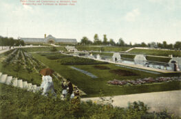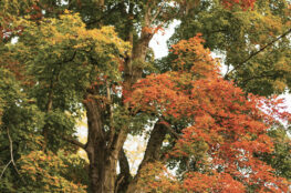


Fall is the sweet spot for outdoor activity. Summer’s heat and humidity have dissipated, winter hasn’t yet chased everyone indoors, and there’s just enough bite in the air to make you want to keep moving. It’s also, of course, the occasion for Wisconsin’s most magnificent show, a limited-time-only run of brilliant reds, yellows and oranges. Our state is blessed with a plethora of places to savor the autumn leaves on a walk through the woods, and many of the best require no more than a day trip from Milwaukee. These are our five favorite spots nearby to get your foliage fix.

Celebrate this year’s winners of the Betty Awards!
Kettle Moraine State Forest – Lapham Peak
A GLACIAL SHOWCASE DRAPED IN COLOR
27 MILES WEST OF MILWAUKEE
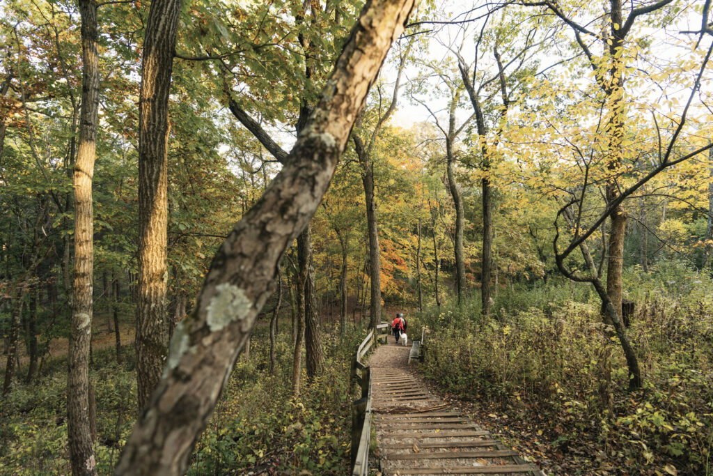
Lapham Peak is part of Southeastern Wisconsin’s chain of Kettle Moraine State Forests, reserves that protect the unique landscapes formed by glacial deposits at the end of the last Ice Age, some 10,000 years ago. The varied topography has had its uses. Naturalist, Increase Lapham, climbed the hill that now bears his name to make weather observations, and in 1870, Congress adopted his proposal to create a national weather service. That November, Lapham made the first published national forecast, predicting “high winds and falling temperatures” for the region. (If you’re hiking here in the fall, that probably sounds familiar.) The forest’s 17-plus miles of trails, ranging from beginner to advanced, carry you across a landscape of moraines, kettle lakes and kames – hills of sediment deposited by glacial meltwater, including Lapham Peak. You can also go from hiking beneath the foliage to standing above it by climbing the peak’s 45-foot observation tower, built in 1940. Lapham would have been jealous.
Revere’s Wells Street Tavern has pretty much everything you’d want after a hike this time of year: a cozy interior to curl up in if it’s cold, a big outdoor patio to bask in the sun if it’s warm, hot food like shepherd’s pie and tavern chili, and a generous beer list. It’s also right next to the Ice Age Trail if you’re up for even more hiking. 505 Wells St., Delafield
Can’t-Miss View
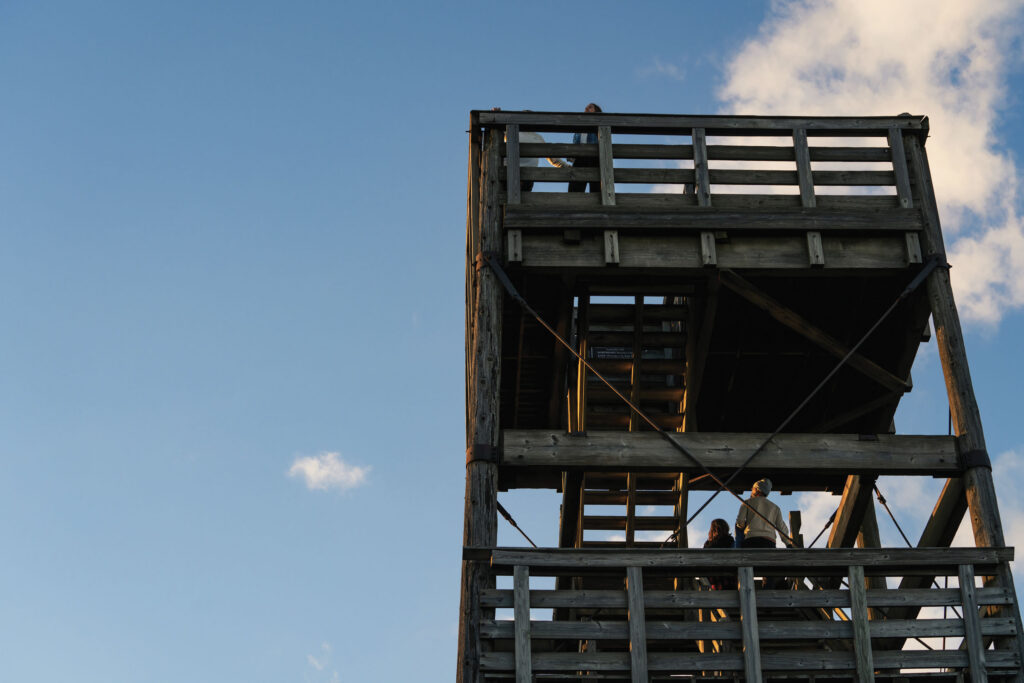
From Lapham Peak’s observation tower, you’ll be treated to views of Lake Country waters and autumn leaves for miles in every direction. On a clear day, you might even make out Holy Hill and the Milwaukee skyline.
The Trails
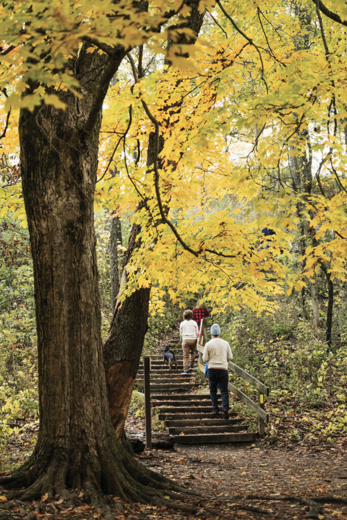
Easy | Pine Grove Path
1.8 MILES, LOOP
Beginning at the Homestead parking lot, this blacktopped trail is fully accessible to hikers with disabilities, or pushing strollers. It leads through meadows and forest and passes the nature center.
Moderate | Kettle View Trail
5.8 MILES, LOOP
Kettle View parallels the Moraine Ridge Trail for most of its length but bypasses some of the latter’s tougher sections, letting you discover the glacial landscape without excess exertion.
Advanced | Moraine Ridge Trail
7 MILES, LOOP
Lapham Peak’s most challenging route traces the park’s glacial topography and gains more than 800 feet in elevation as it passes through restored prairies and oak and hickory forests.
Kettle Moraine State Forest – Pike Lake Unit
CHOOSE YOUR OWN FALL ADVENTURE
33 MILES NORTH-WEST OF MILWAUKEE
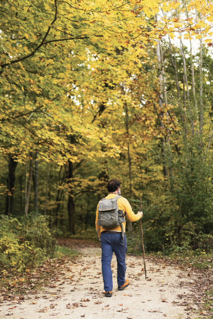
Another good place to trek landscapes formed by the Ice Age’s mile-high ice pack is this preserve between Slinger and Hartford. It borders the eastern shore of spring-fed Pike Lake, itself formed from a glacial kettle, and encompasses moraine ridges and Powder Hill, an impressive kame that, at 1,350 feet, is the second-highest point in Southeastern Wisconsin. There are beaches and recreational facilities along the lakeshore in the park’s southwestern corner, but leaf peepers will find the best combination of hiking and foliage in its northeastern quadrant, where several loop trails connect, letting hikers patch together their own routes. Stringing everything together is a 2.6-mile segment of the Ice Age Trail. All told, there are more than 8 miles of trail to ramble within the park. Watch for deer in the woods and painted turtles by the lake.
If you’re after pub grub and water views, Big Guy’s (5869 Franklin Dr., Hartford), just down the road from the park entrance, fits the bill, offering burgers, pizzas and a deck overlooking Pike Lake. If you’re more after a West Coast IPA, oatmeal stout or pastry sour, head to downtown Hartford’s Brewed Omen, a year-old brewpub (120 N. Main St.) that also serves sandwiches and flatbreads.
Can’t-Miss View
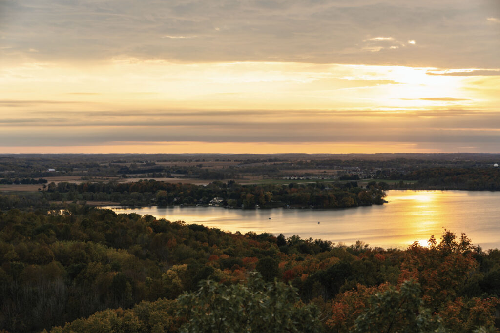
The Powder Hill observation tower puts you at treetop level, affording immense views over the forest to Pike Lake some 350 feet below. Look south and you can even make out the twin spires of Holy Hill Basilica, nearly 5 miles away.
The Trails
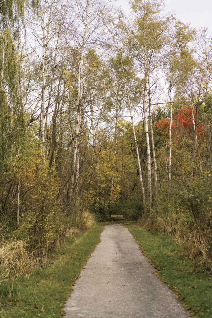
Easy | Black Forest Nature Trail
0.8 MILES, LOOP
Starting near the northeastern parking lot, this path meanders through mesic forest, a fancy way of saying it’s characterized by a moderate amount of moisture. Learn about that and more from the trail’s informational panels.
Moderate | Ice Age Trail
5.2 MILES, OUT-AND-BACK
A portion of the ice age trail passes diagonally through the property, rolling over forested moraine landscapes whose ridges and ravines keep the walk interesting. A spur near the trail’s midpoint leads up to powder hill’s observation tower.
High Cliff State Park
A VANTAGE POINT TO HISTORY
93 MILES NORTH OF MILWAUKEE
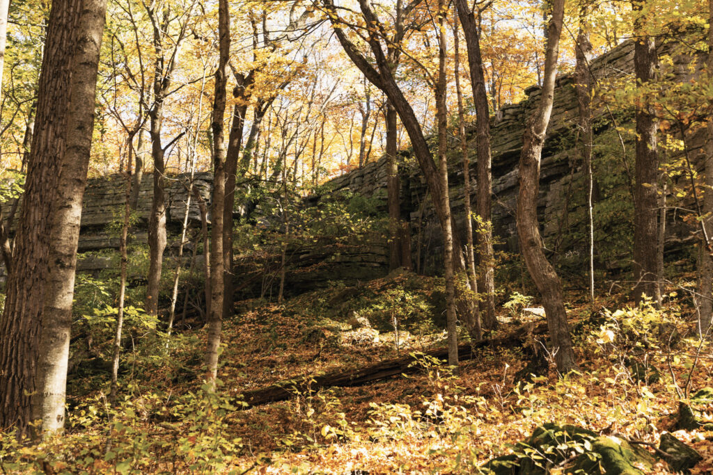
If you’re looking for a hike with a side of history, head to this 1,200-acre state park on the northeast shore of Lake Winnebago. From the 1850s until 1956, its eponymous cliff was an important limestone quarry – the stone here is part of the Niagara Escarpment, the same geological formation that undergirds Niagara Falls – and one of the park’s most popular trails takes you past the remains of three Western Lime and Cement Co. kilns. The industrial ruins are particularly atmospheric set against fall’s vivid colors. Nearby is a building from 1855 that served as the company town’s general store and post office. Further back in time and deeper in the woods is a collection of effigy mounds that nomadic Siouan people constructed more than a millennium ago. Elsewhere, a trail and statue pay tribute to the 19th century Ho-Chunk chief Red Bird. Most of the park’s trails are atop the cliff, meaning you’re often treated to views of Winnebago’s brilliant blue through the leaves’ red and gold, particularly on Red Bird Trail. It’s also not unusual to spot deer and raccoons on a hike, while turkey vultures, red-tailed hawks and warblers are common in the skies during autumn.
Located just outside the park entrance to High Cliff, Papa B’s Pizza & Barbecue is a favorite of park staff. The owners bring a background in St. Louis- and Memphis-style ’cue to their baby back ribs and pulled pork, while the pizzas (thin or deep-dish) use homemade dough and sauce. Can’t decide? The Atoka Smoke BBQ Pizza piles pulled pork and homemade BBQ sauce on a pie. Papa B’s also serves flights of Wisconsin bourbons. N7721 State Park Rd., Sherwood
Can’t-Miss View
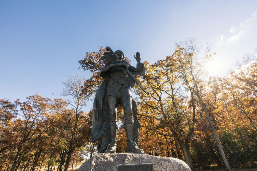
The scene from the observatory tower puts up a good fight, but the park’s best view is of the 12-foot Red Bird statue framed against the curving north shore of Lake Winnebago far below.
The Trails
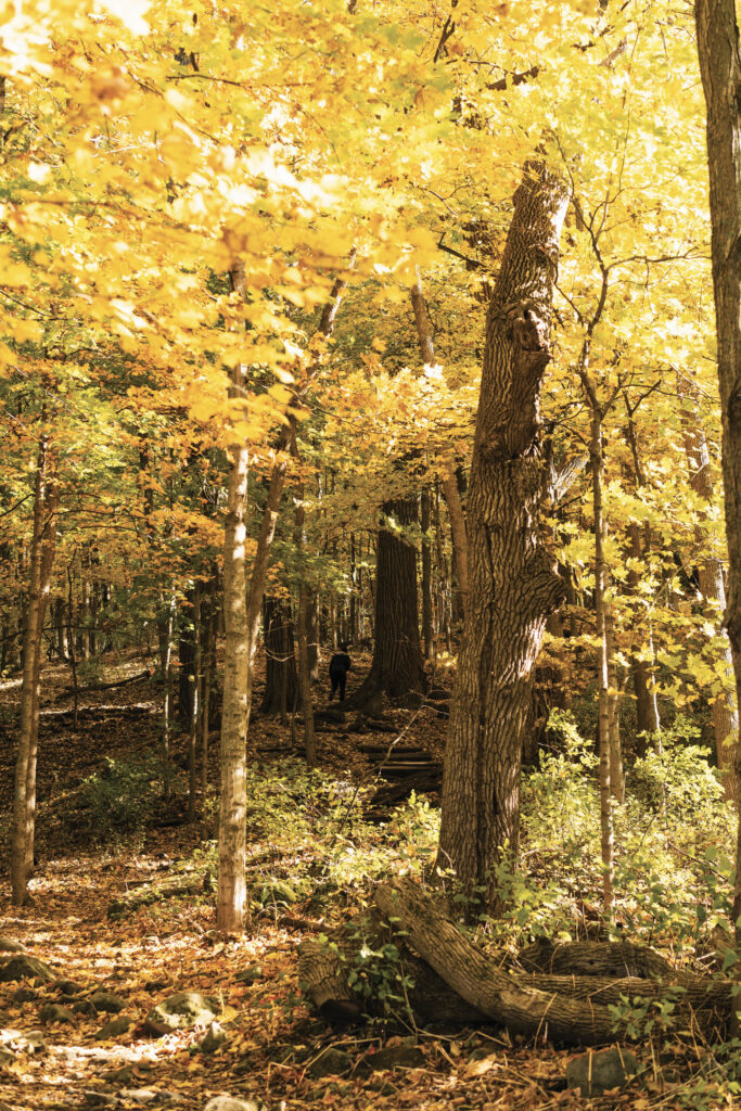
Easy | Red Bird Trail
3.4 MILES, LOOP
Running atop the escarpment, this largely flat trail provides some of the best views in the park. You’ll find the red bird statue and an observatory near the trailhead.
Easy | Indian Mound Trail
0.6 MILES, LOOP
This short forest loop passes 1,000-year-old effigy mounds shaped like panthers and buffaloes, though you may need to use your imagination to make them out.
Moderate | Lime Kiln Trail
1.7 MILES, LOOP
Near the lakeshore, the trail passes the ruins of lime kilns and a cooper’s shop. The loop’s lake side is flatter, while the escarpment side has more challenging terrain.
Devil’s Lake State Park
THE GRANDDADDY OF WISCONSIN VIEWS
119 MILES NORTHWEST OF MILWAUKEE
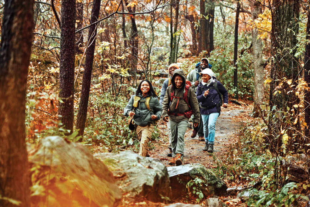
Devil’s Lake hardly needs an introduction. This is Wisconsin’s most popular state park, getting roughly 2 million visitors annually, and it has been pulling in travelers for well over a century. Ulysses S. Grant and Mary Todd Lincoln both visited. The Ringling brothers had a home here. Later vacationers took hayrides, watched a mentalist perform, and attended a floating church service on the lake. Ultimately, what drew all those folks to this spot are the same things that draw people here today: an inviting spring-fed lake, soaring bluffs, and some of the Midwest’s best outdoor recreation. The scene is even more beautiful lit up in fall foliage, and with 29 miles of trails in the park, you could easily spend several days searching out your favorite vantage point. Routes range from straightforward paved paths with accessible stretches to lung-busting scrambles up 500-foot quartzite cliffs. Make it to the top, though, and you’re rewarded with mysterious rock formations and sublime views over the landscape. The crowds that Devil’s Lake often sees can obscure the local flora and fauna, but the preserve is home to more than 800 plant species and nearly half of all bird species found in the state.
Strategically located just outside the park’s north entrance, Tumbled Rock Brewery & Kitchen (S5718 Hwy. 136, Baraboo) is an ideal after-hike option, with good house-made beer, a dog-friendly lawn and regular live music. You can eat there, too – or make the 20-minute drive to the king of Wisconsin supper clubs, Ishnala (S2011 Ishnala Rd., Lake Delton). Tip back an old fashioned or two while you gaze over Mirror Lake and wait for a table.
Can’t-Miss View
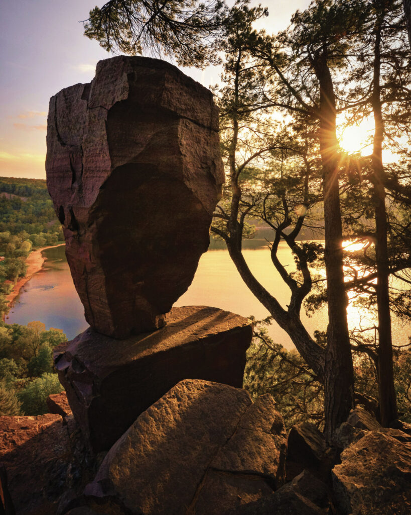
Balanced Rock and Devil’s Doorway. We can’t pick just one, but can you blame us? These uncanny rock formations, silhouetted against the sky, the lake and the surrounding forests, are two of Wisconsin’s most iconic vistas.
The Trails
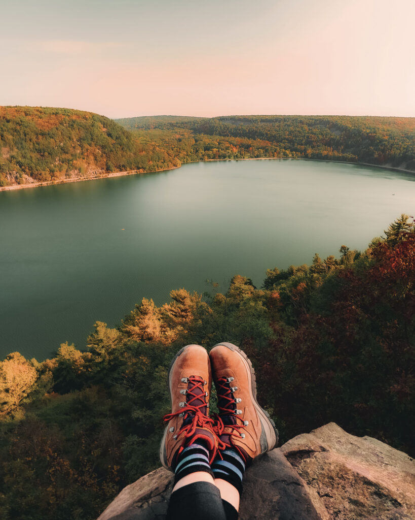
Easy | Tumbled Rocks Trail
2 MILES, OUT-AND-BACK
This popular lakeshore trail winds through rocky debris that has chipped off the adjacent cliff. At the southern end, you have the option of looping back via the difficult west bluff trail.
Moderate | Parfrey’s Glen Trail
1.4 MILES, OUT-AND-BACK
Part of a state natural area contiguous to the state park, this remote trail follows a stream and narrow gorge, where moss and ferns combine with autumn colors to create something mystical. Pets not allowed.
Advanced | Balanced Rock-East Bluff-Potholes Loop
1.3 MILES, LOOP
These three linked trails connect some of the park’s marquee sights: Balanced Rock, Devil’s Doorway and the Potholes. Epic views and dramatic rock formations make the strenuous climb up more than worth it.
Forest Exploration Center
AN OASIS OF NEARBY NATURE
9 MILES WEST OF MILWAUKEE
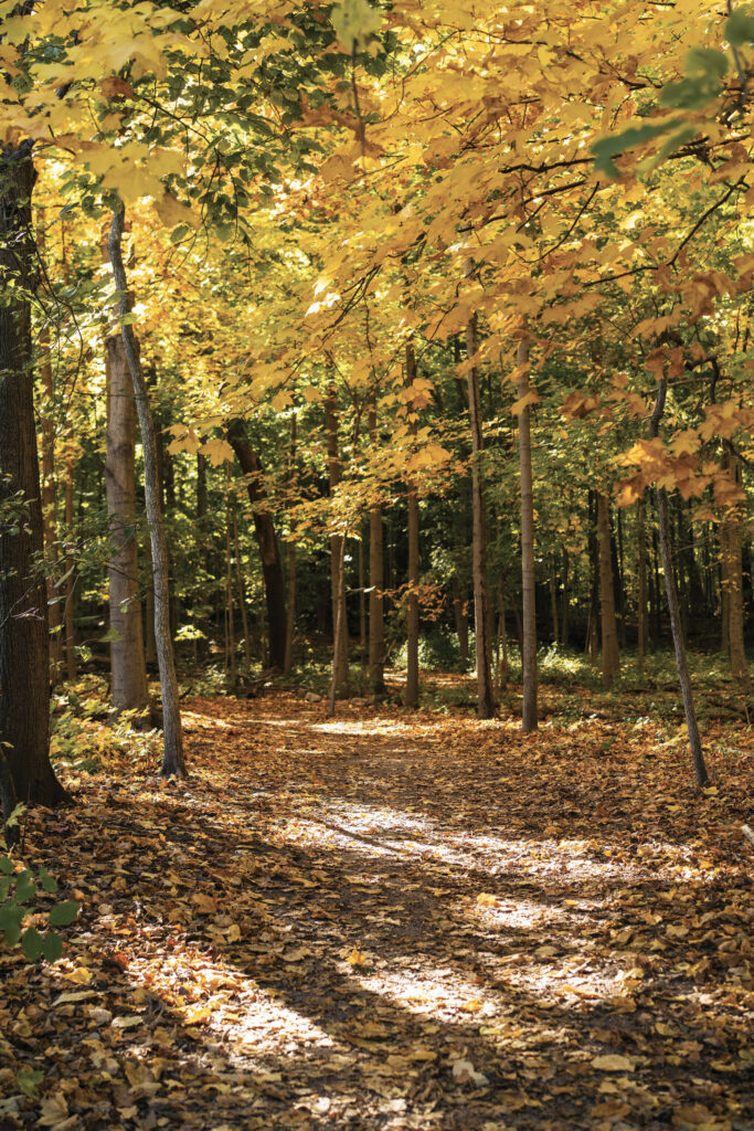
Look at a satellite image of the greater Milwaukee area, and amid the gray ribbons of road and the black patchwork of rooftops, you’ll notice an incongruously green thumbprint alongside I-41 – not the grassy green of city parks, but a deep, primal green. That’s Wauwatosa’s Forest Exploration Center, a 67-acre remnant of the hardwood forests that Solomon Juneau might have encountered when he first set foot here. Entering this urban sanctuary is a bit like stepping back two centuries, where you’ll find yourself among towering beech, elm, sugar maple and white oak, plus 20 other species of trees. Still, signs of more recent eras poke through, like barbed wire from when cattle were grazed here. As you walk, keep an eye out for cardinals and warblers flitting through shafts of sunlight or, if you’re lucky, a great horned owl roosting amid the branches; the center is home to more than 150 bird species throughout the year.
Meditative and undemanding, the Forest Ecology Trail is an ideal a.m. stroll. Make a morning of it with a visit to Cranky Al’s, which just might have Milwaukee’s best doughnuts. The peanut butter buttercream is divine, but you won’t go wrong with any of them. Need something more substantial? Grab one of the breakfast pizzas or burritos. 6901 W. North Ave., Wauwatosa
Can’t-Miss View
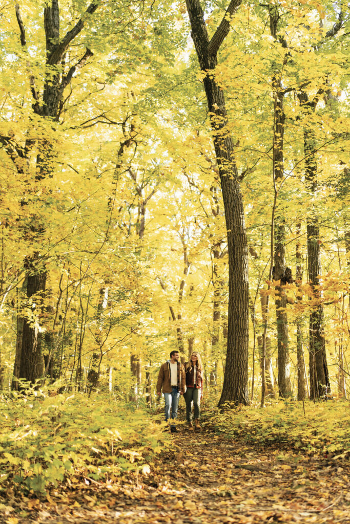
While this trail doesn’t have a single standout viewpoint, you will find displays teaching about aspects of the forest, as well as rotating exhibits including this year’s “All That Trees Provide” of paintings and photography.
The Trail
Easy | Forest Ecology Trail
1 MILE, LOOP
The center’s lone trail is crushed granite and entirely ADA accessible. It’s lined with educational panels, while the Community-Curated Trail Spur displays ecology-related art. Leashed dogs are permitted, and the trail is open dawn to dusk.
Keep Going!
There’s no shortage of spots to take in the seasonal show within day-trip distance of Milwaukee. Here are three other top spots to check out.
Horicon National Wildlife Refuge
Trade reds, yellows and oranges for the more subdued beauty of tawny reeds and cottony cattails at of one of the country’s biggest freshwater marshes. This is also the season to marvel at the huge flocks of migrating birds that pass through, most notably sandhill cranes and Canada geese, whose numbers can top 200,000.
Governor Dodge State Park
One of Wisconsin’s largest state parks, this refuge west of Madison has 5,000-plus acres of bluffs, forests, valleys and lakes to explore. In autumn, crimson and gold leaves surrounding Stephens’ Falls make for a stunning sight.
Rock Cut State Park
This 3,200-acre Illinois state park just north of Rockford has some 40 miles of hiking trails that pass through forests, rolling plains and fields of wildflowers. A popular route is the Pierce Lake Trail, which traces the shore for 4 miles. Foxes, muskrats, beavers and opossums also call the park home.